Accurately measuring the Baltic Sea to within a centimetre
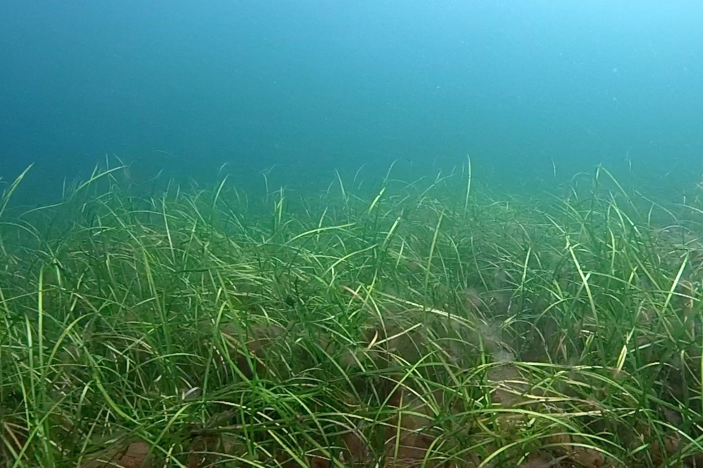
The project BONUS ECOMAP will develop innovative methods for improved remote sensing of the seafloor in the Baltic Sea. We propose new measurement techniques and a remote sensing catalogue detailing new procedures on how to implement remote sensing methods for selected habitats. Our objectives are (1) to test the feasibility of adapted shallow seismics, latest hydroacoustics, customized in situ laser methods and state-of-the-art airborne lidar to remotely sense habitats such as sea grass meadows, reef-building macrofauna and stone reefs, as well as shallow gas areas, which are all indicators of ecosystem diversity and health, (2) to develop and merit full waveform analyses for both, sonar and lidar, (3) to increase the available data dimension by multi-frequency and multi-angle approaches, (4) to develop algorithms and computer machine learning tools to investigate benthic life (5) to develop ground-truthing, calibration and in situ methods to investigate the relation between opto-acoustic facies and marine habitats, and determine the natural variation of the seabed.